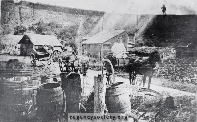
This map (mentioned previously) quite clearly showed these piggeries as north of the Railway line and just south of Old Shoreham Road. they were sited between what is now Leighton Road and St. Joseph’s Home. The map also showed a cottage named Piggery Cottage quite close to the Old Shoreham Road. There is no record of when the pit was filled up but as it was near to the present Hove Council Refuse Disposal Unit, it may gradually have been filled up by refuse over a period of some years. Plans for the houses and shops in Old Shoreham Road, west of Leighton Road show that particular attention had to be paid to their foundations doubtless due to their proximity to the old pit.
Image Reference: JG_16_116.tif
Date: 1864-1868
Image Details: Copy
Size of Original: 129x81
Place: Hove
Additional Information: No comment
The digitisation of this Volume was sponsored by The Regency Society
This image is copyright and is made available for personal study only. Commercial reproduction in any media is prohibited without written authorisation.
High resolution images for commercial use are available. Please contact The Regency Society